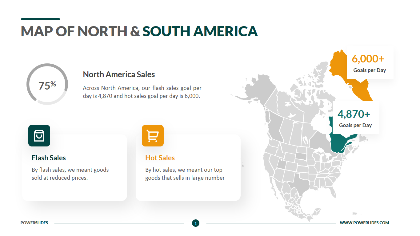
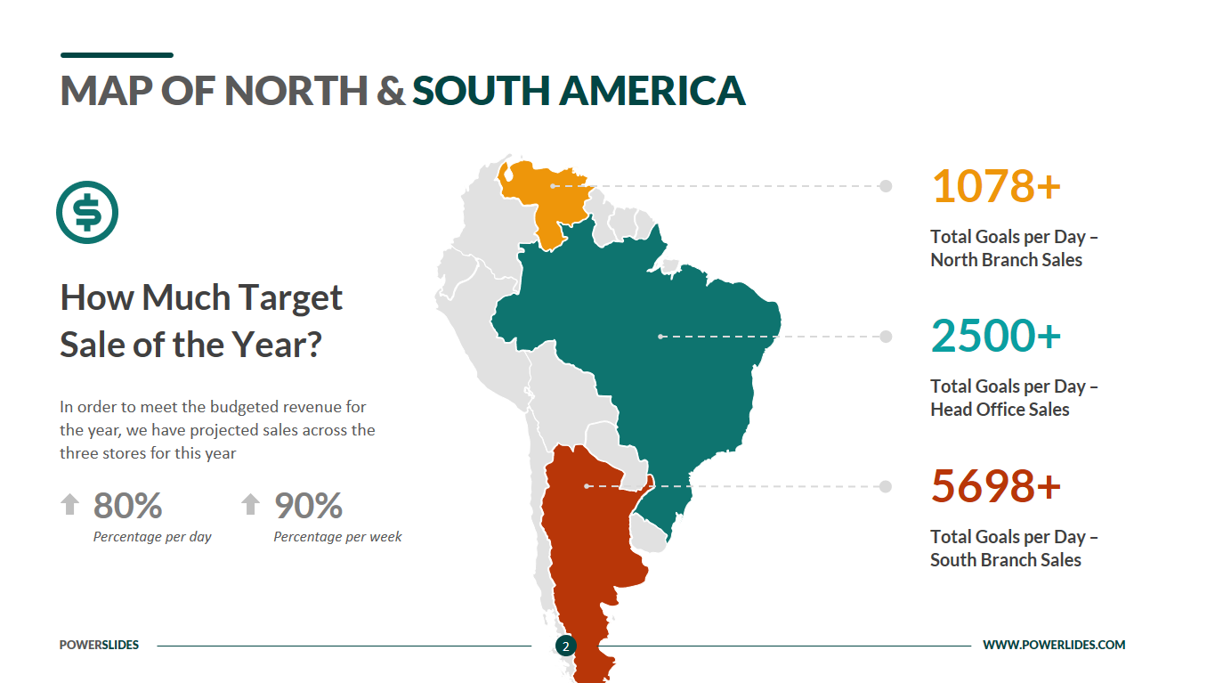
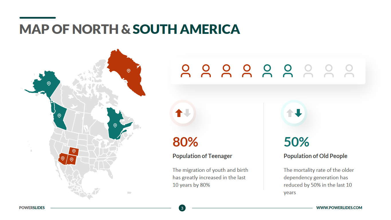
Map of North and South America
What do you think of this template?


 (2.50/ 5)
10 ratings

 4 Slides
 File size: 16:9
 Fonts: Lato Black, Calibri
 Supported version
PPT 2010, PPT 2013, PPT 2016
Supported version
PPT 2010, PPT 2013, PPT 2016

Product details
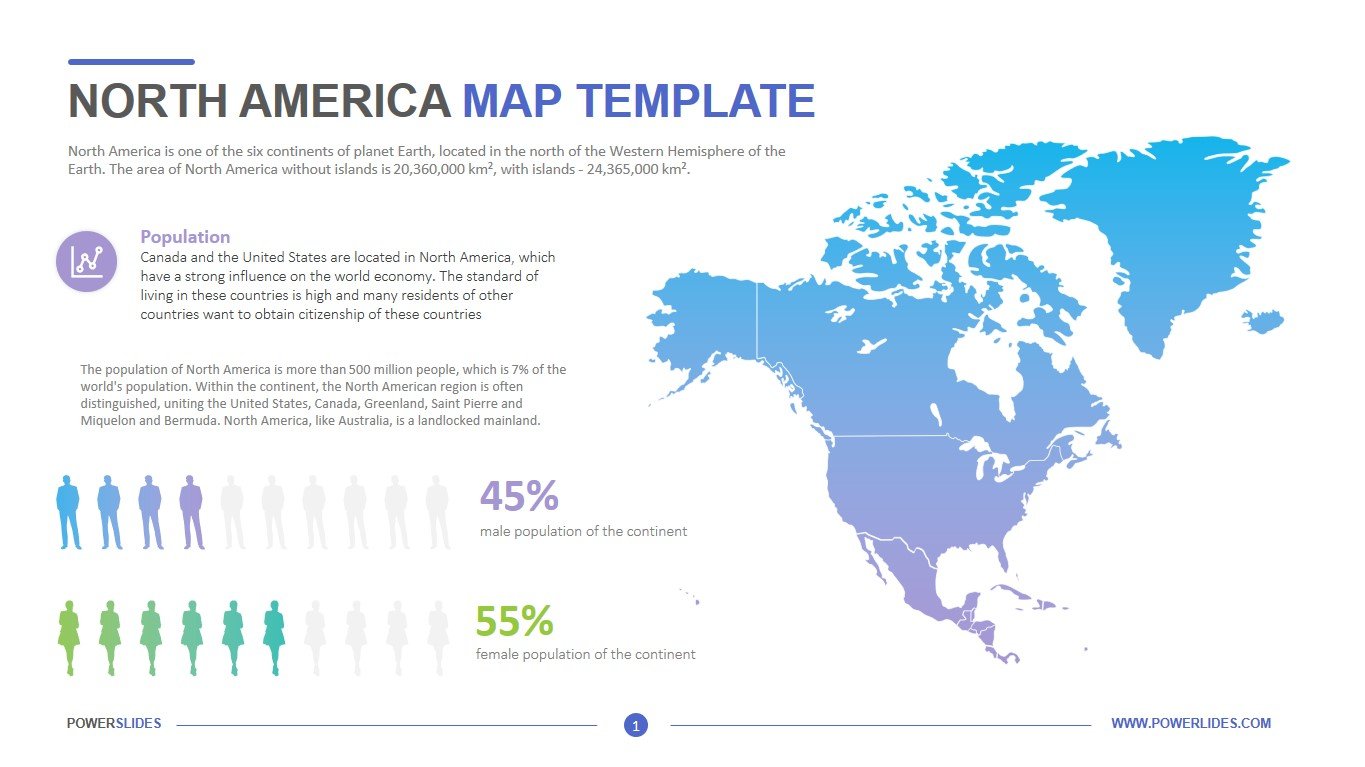
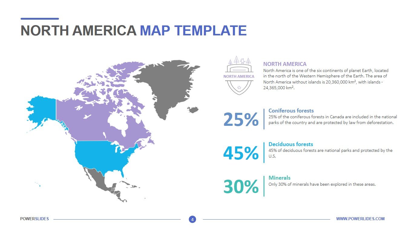
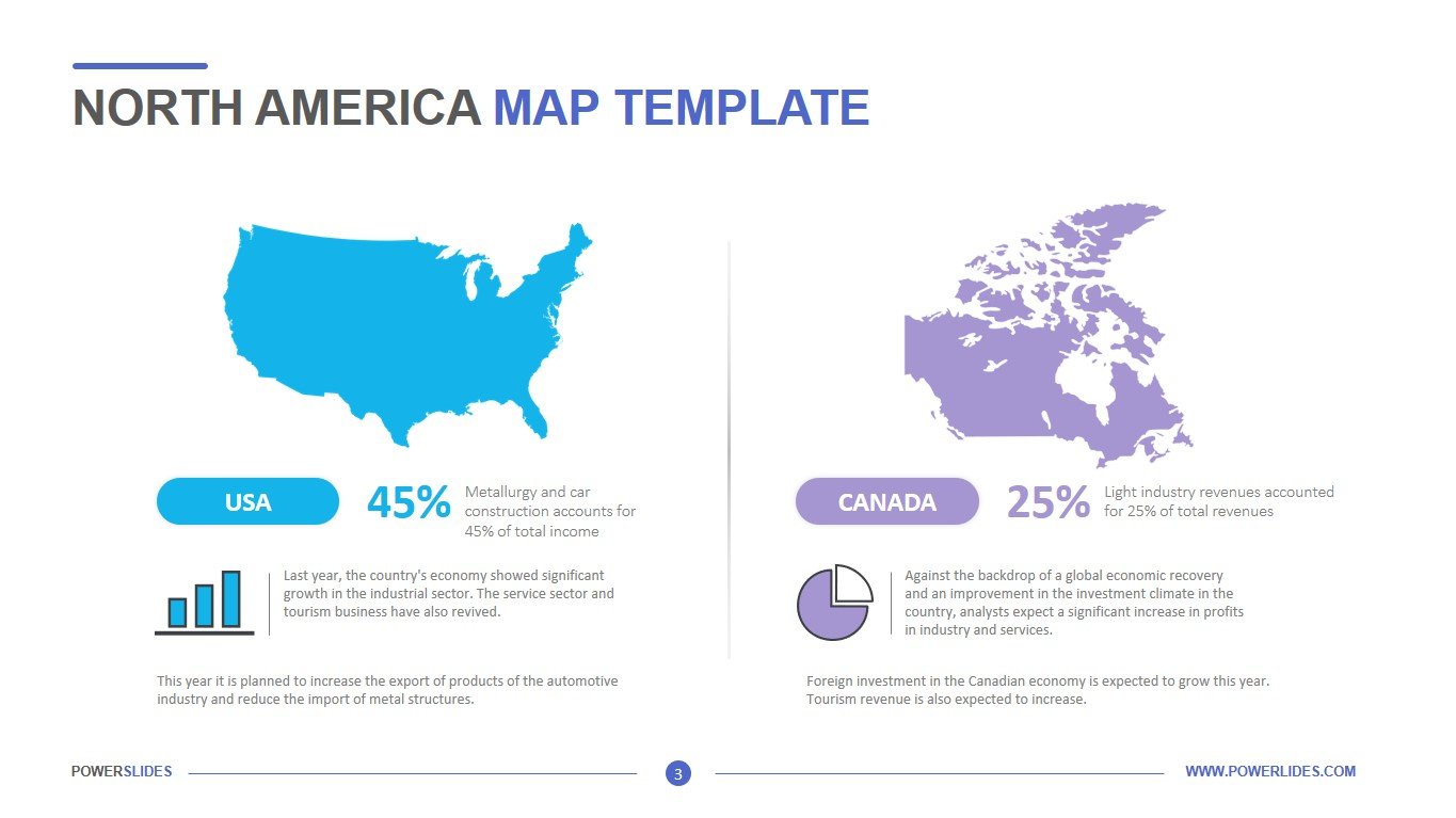
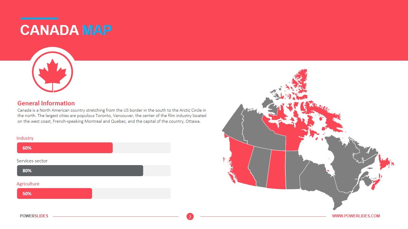
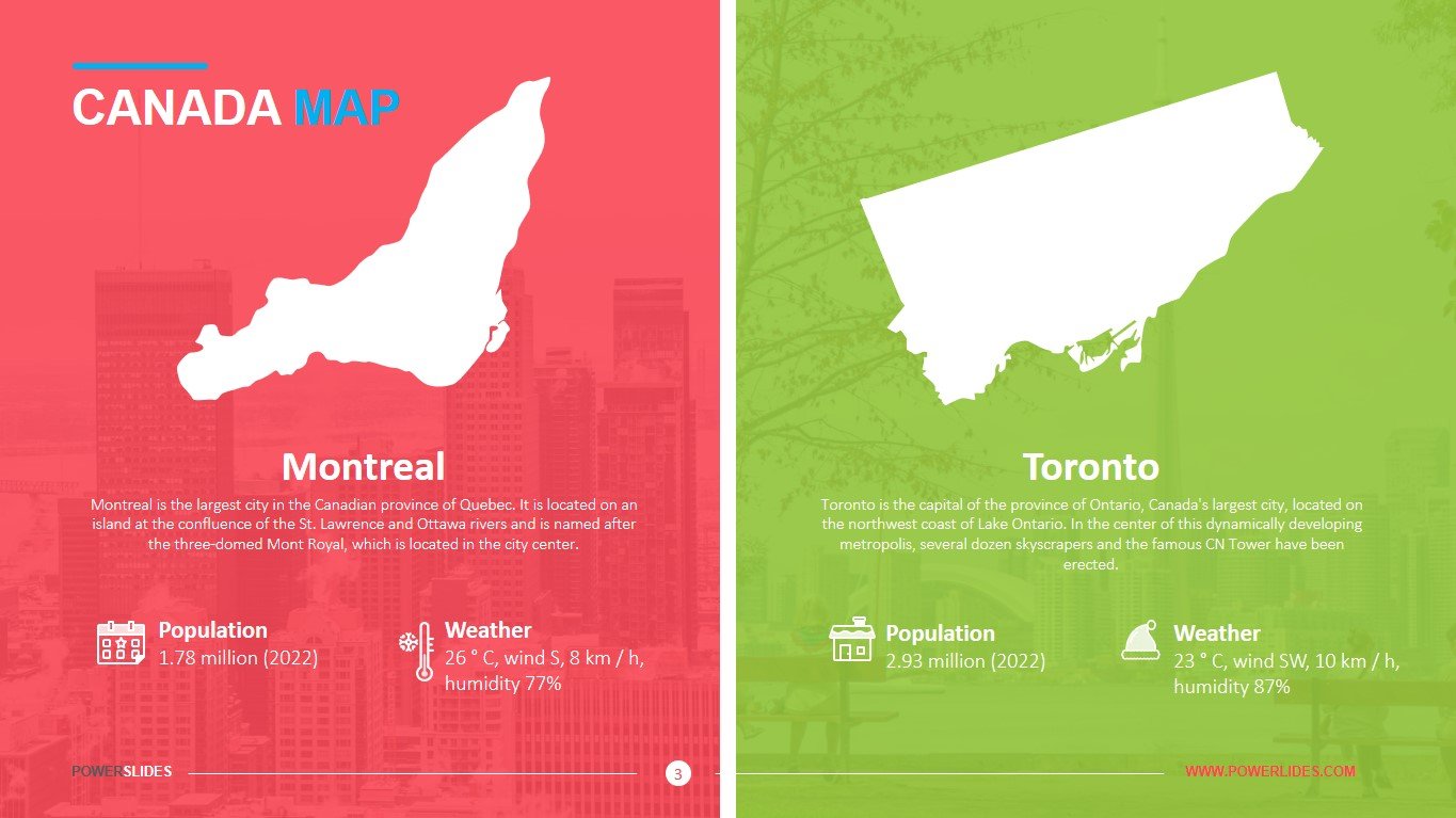
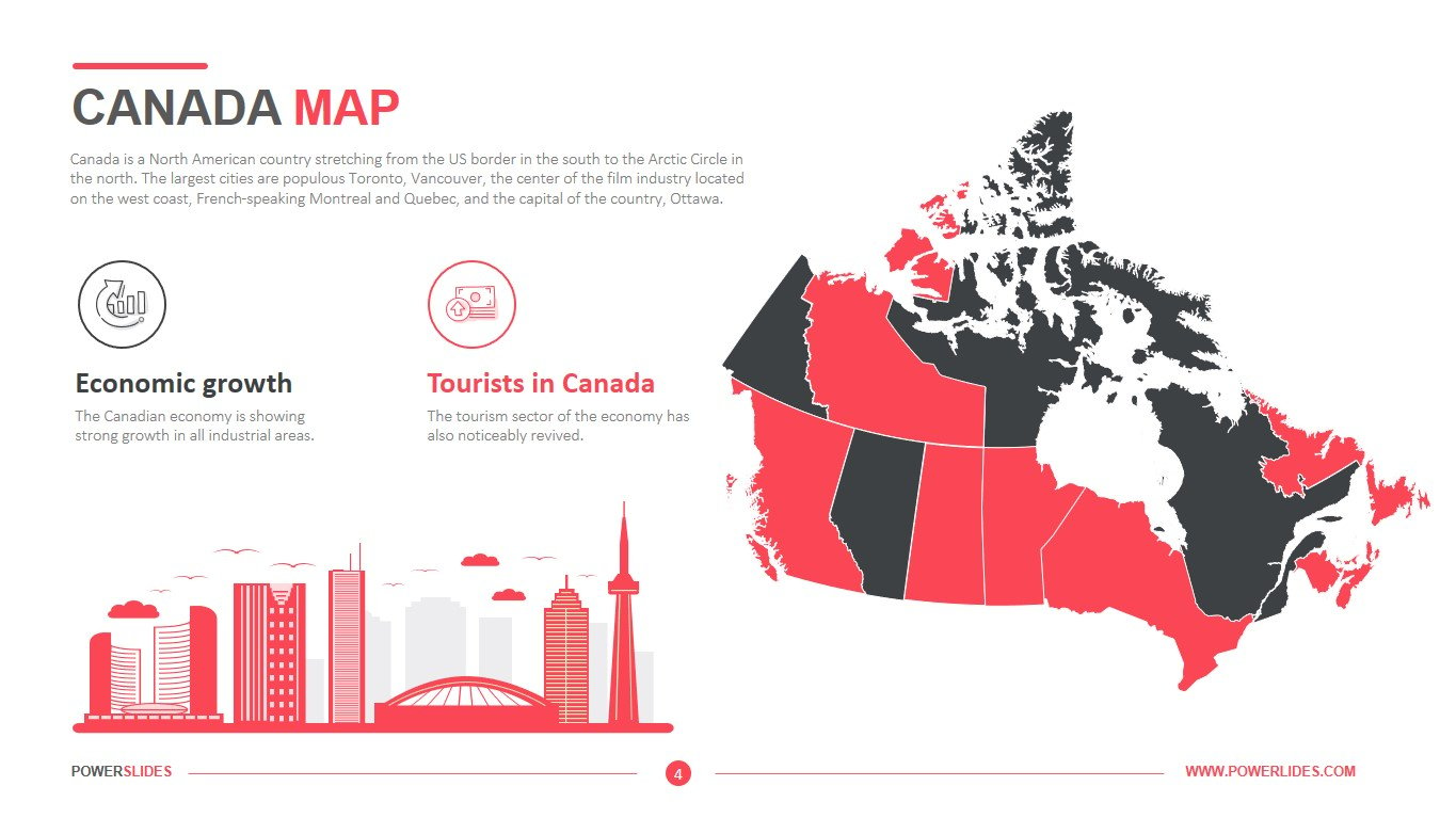
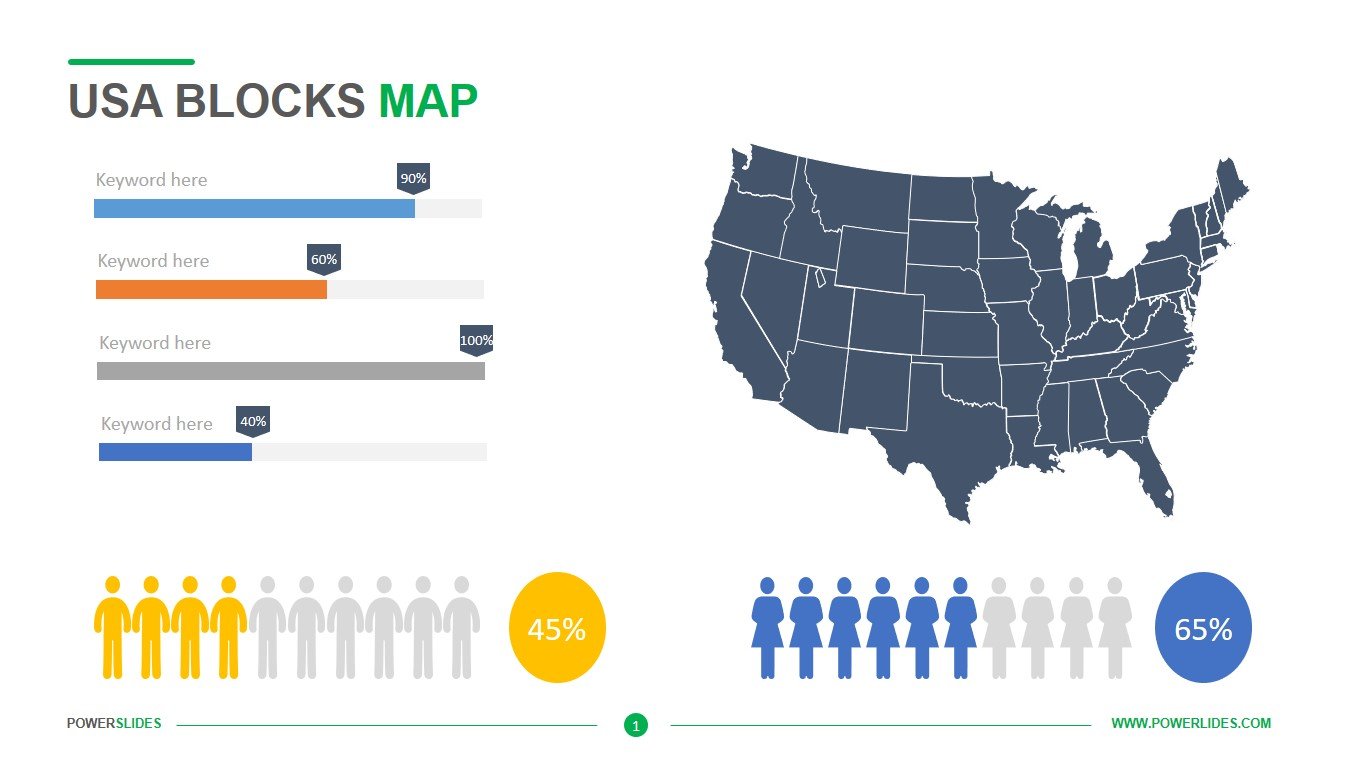
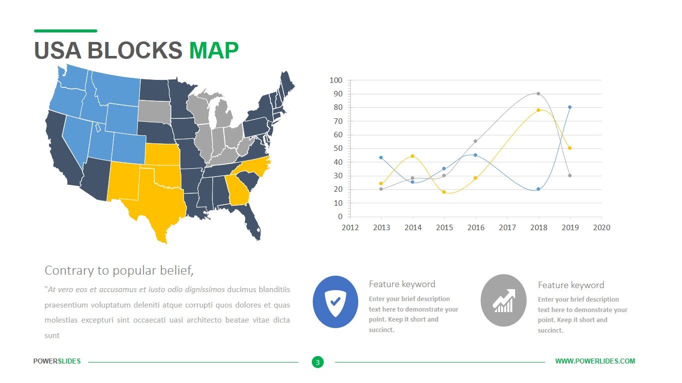
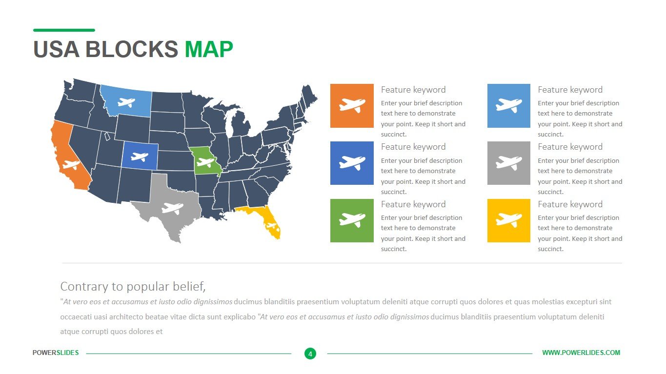
America is the name given to the giant landmass that goes from Alaska to Patagonia and its surrounding islands, you can call it continent if you want. The name was first coined by the cartographer’s Martin Waldseemüller and Matthias Ringmann in honour to the explorer Amerigo Vespucci (Americus in Latin), the explorer who realized that America was not India but actually a new continent. The map encompasses both American continents, as they make up most of the western hemisphere. North America with its 16.5% of the earth’s total land, is divided into 23 countries, and South America represents 12% of the earth’s land, with 12 countries. Using cards in a presentation always helps to grab the audience’s attention. After all, you must agree that not everyone can know the name of all states and understand which of them, where it is, and even more so which country it borders on. By using maps, you make the perception of your information more understandable to your audience. Now everything is clear here is the country that is being discussed in the presentation. Now the listener can fully focus on your report, and not remember where this country or city is located. When using maps, you can not only indicate a point on it but also select several regions. For example, this will display regions with your complete dominance in sales, regions with little competition, and regions where your product is not sold.
The Map of North & South America template has four slides. This template will primarily be useful for companies that do business in the Americas. Sales managers can use this template when preparing a sales report or preparing a new market entry strategy. Also, this template will be useful for logistics companies, which can display on slides the location of warehouses and regions of delivery. Suppliers of goods can use maps to display their stores or pick-up points. This template can also be used by public relations specialists when preparing a candidate’s election campaign. For example, you can select regions where your candidate gets the most votes and regions where a candidate from another party leads. Geography teachers can also use this template when preparing their courses for students. This template will also be useful for journalists when preparing news from different regions of the country or other countries. Airlines can also use this template when preparing information about the countries they fly to. All slides in the template have all the tools you need to build a professional presentation. If necessary, you can independently change the size and location of blocks, colour and type of fonts. You can also highlight individual regions on the map and change their location and size as needed. Map of North & South America template will organically complement your old presentations and replenish your collection of slides with maps of various continents and countries.


