Brazil Country Map
What do you think of this template?


 (3.33/ 5)
10 ratings

 5 Slides
 File size: 16:9
 Fonts: Lato, Calibri
 Supported version
PPT 2010, PPT 2013, PPT 2016
Supported version
PPT 2010, PPT 2013, PPT 2016

Product details
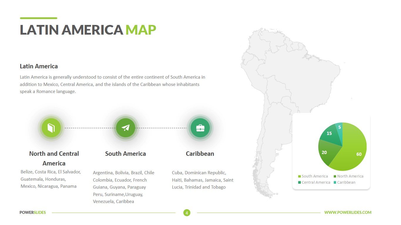
Located in central-eastern part of South America, Brazil is the world’s 5th largest country as well as the largest country in South America and in the Southern Hemisphere. Brazil is divided into 5 primary geographic areas: the northern Guiana Highlands; Brazilian Highlands in central and east; the massive Amazon River Basin; the Pantanal wetland areas of the southwest; and the Southern Highlands – to the west and south of Curitiba.
This brazil map template is for local and international use regarding the matters of Brazil. With 5 uniquely fabricated slides each with a different purpose, this PowerPoint template has a very diverse use.
Travel agencies can use the slides from this template when preparing travel itineraries in Brazil. This template can also be used by public relations professionals when preparing campaign information in Brazil. School and university teachers can use the slides in this template to prepare their courses in geography and area studies. Environmentalists can use this template to prepare environmental analyzes for regions in Brazil.
This slide will be useful for sales managers in preparing their strategy for the development of sales in international markets. For example, you can use the slides in this template when preparing a sales analysis in Brazil. Human Resources Managers can use this template when preparing information about a new employee from Brazil or information about a company representative in Brazil. Also, this template will be useful for managers when planning their meetings when traveling to Brazil.
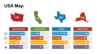
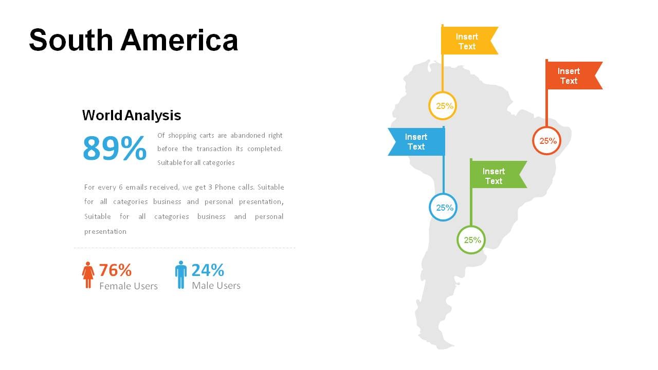
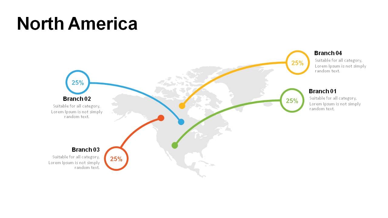
The first slide is particularly designated for describing the infrastructural and tourist attractions in the country. Like, for example, which city has the best stadiums, which houses museums and artworks. The second and third slides are similar to each other in their concept however the designs differ. These slides can be used to describe the economical, product or any specific growth in the country along with the detailed description and statistical data. The fourth slide is an explanation of cities. With a place designated for describing the aesthetic importance and contribution of at least 6 cities for the national and international matters. The third slide consist of the Brazil map with all of its provincial divisions colored in a different manner, green, light green and red, to show the need or to raise the awareness of a particular thing in a particular region. With percentage stats in a form of a circle and dialogue boxes below, it’s quite efficient to bring the listeners attention to specific talks.
Brazil Country Map template contains all the tools you need to create a professional and modern presentation. If necessary, you can independently change the size and color of infographics, type and location of fonts in accordance with your corporate requirements. This template will organically complement your old presentations and will be a great addition to your collection of professional presentations.


